GIS provides access to comprehensive and accurate spatial information about the City of Columbia. The tool provides accurate data which can be utilized for solving problems and support improved decision-making. GIS provides training, spatial data creation, geospatial analysis and decision-making support services to all departments.
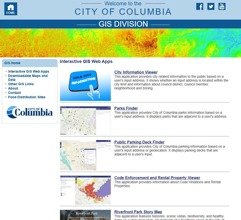
Visit the GIS Website for interactive GIS Web applications and printable maps.